Photos
$1,100,000
MLS: 36102-000185
760. Acres
Scenic Eastern Oregon Farm
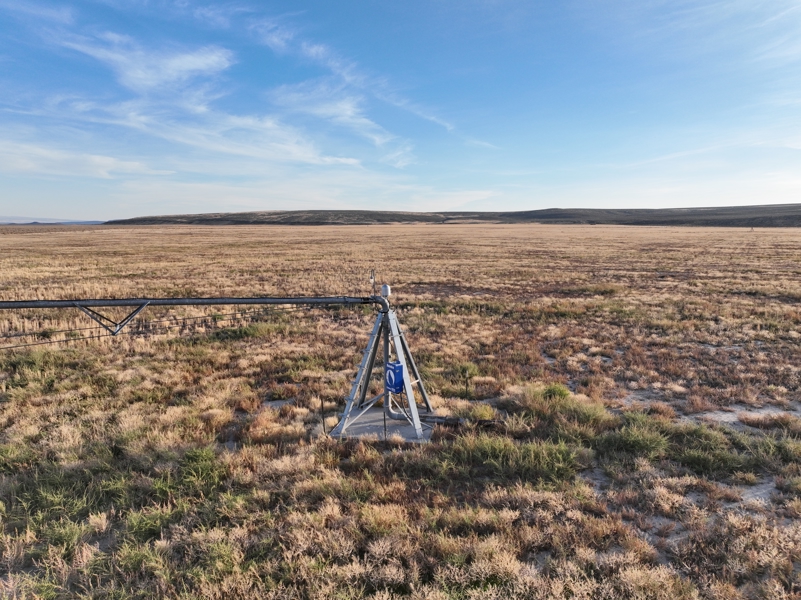
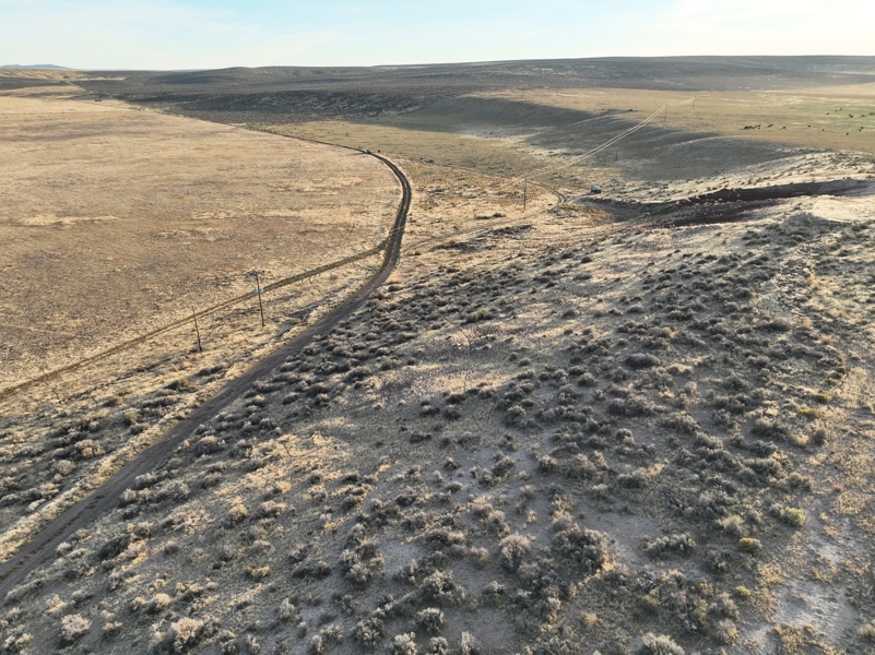
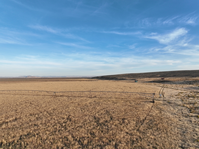
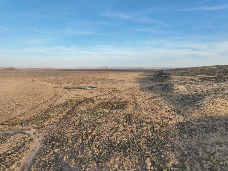
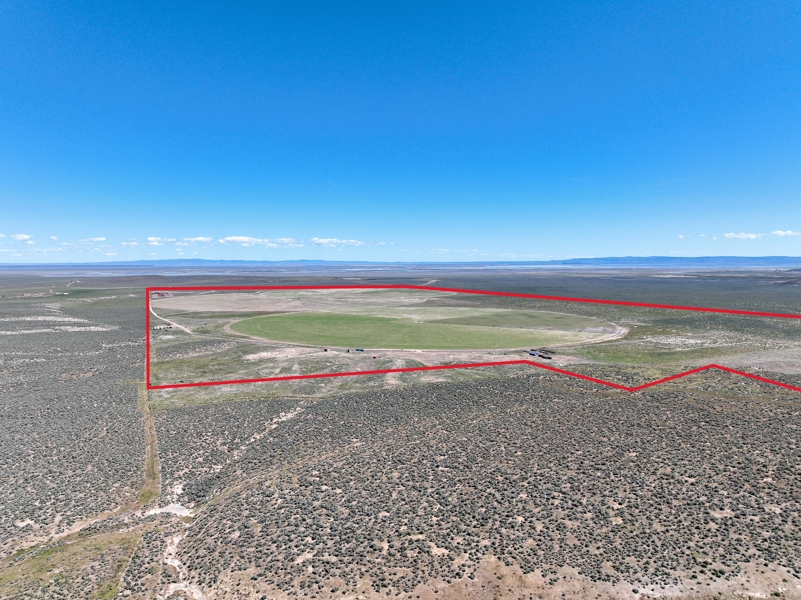
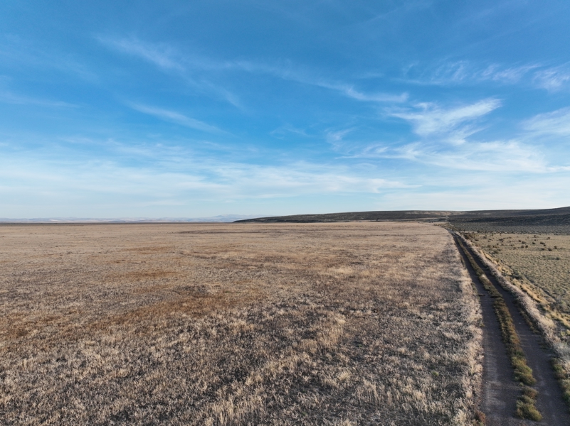
This Eastern Oregon farm is located south of Burns near the Narrows, in a valley with views toward Steens Mountain. Gentle hillsides along the western and southern portions of the property overlook the valley floor and the pivot fields. The property includes approximately 760 deeded acres, with water rights associated with approximately 340 acres under three pivots. Five wells serve the irrigation system, including two that produce hot water.
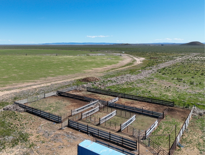
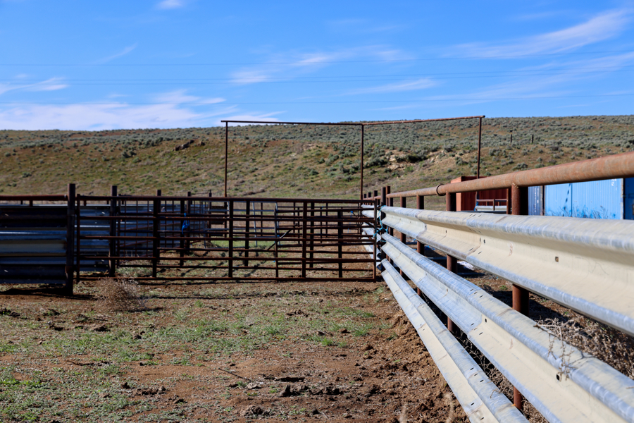
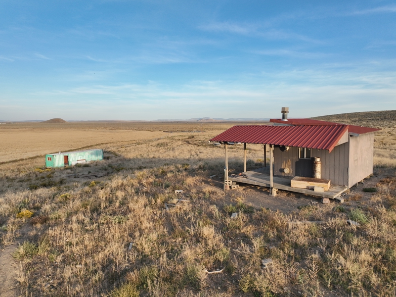
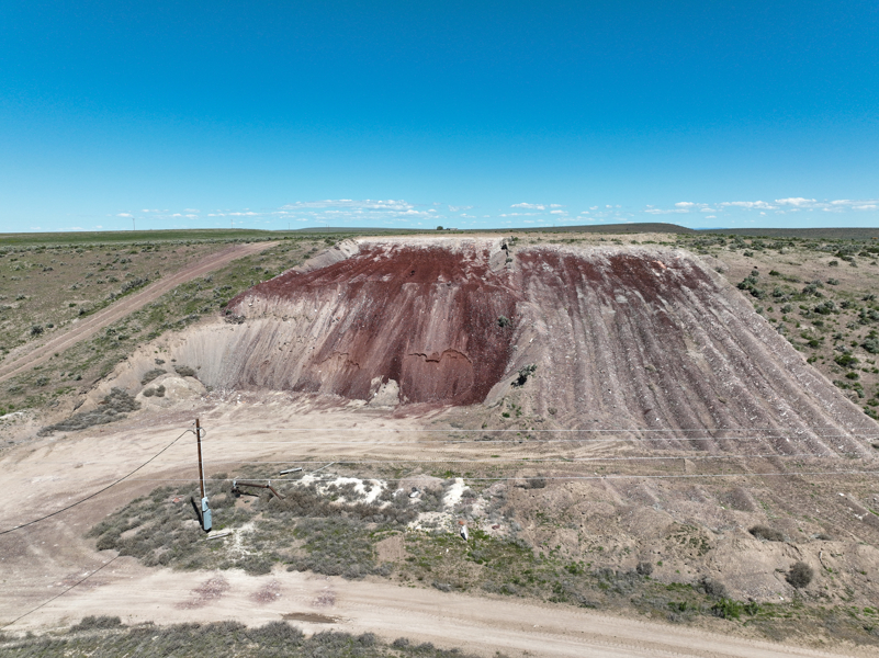
The property borders extensive BLM land and the Malheur National Wildlife Refuge. The pivot fields have not been irrigated for the past couple of years and are currently open for planting. Other features include a bunkhouse, steel working corrals with alleys connecting the grazing pastures, and a cinder pit used for roads and pivot tracks.
The property is owned by Ag West Farm Credit. Ag West may consider financing a purchase, subject to the buyer qualifying under its lending criteria and Ag West approval.
Productive Irrigated and Dryland Acres
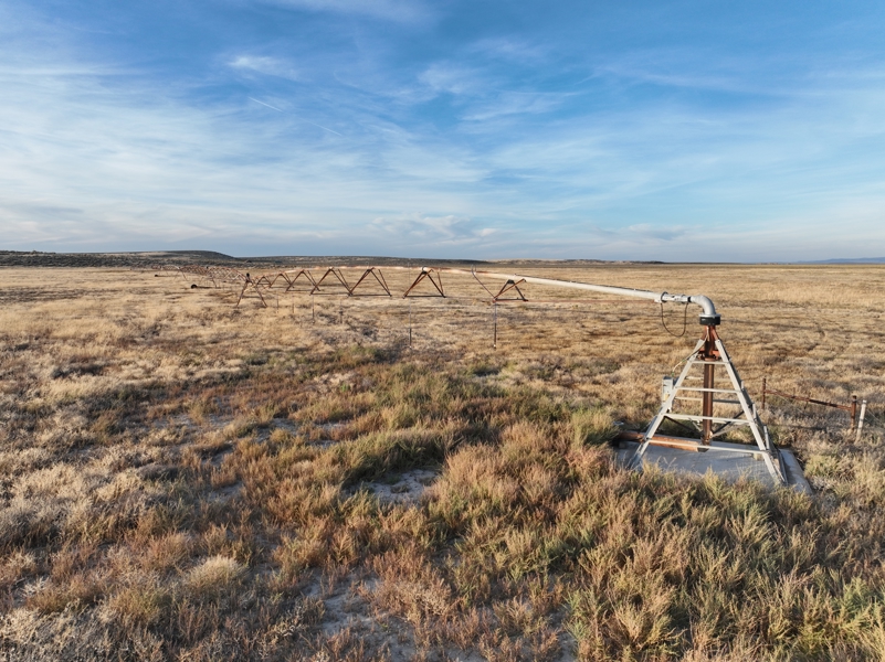
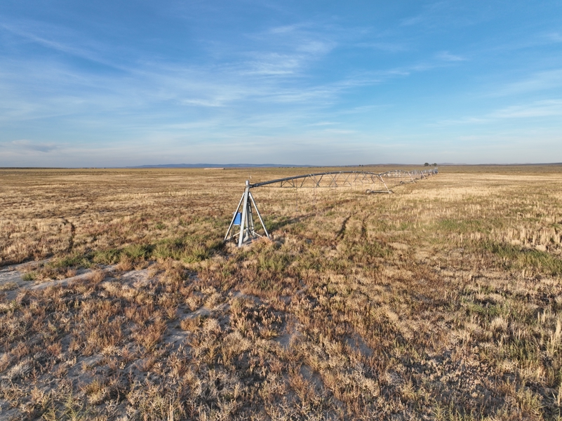
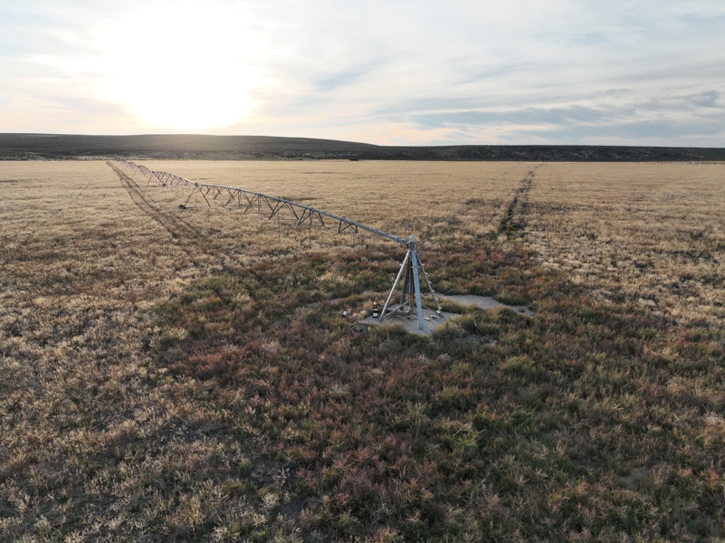
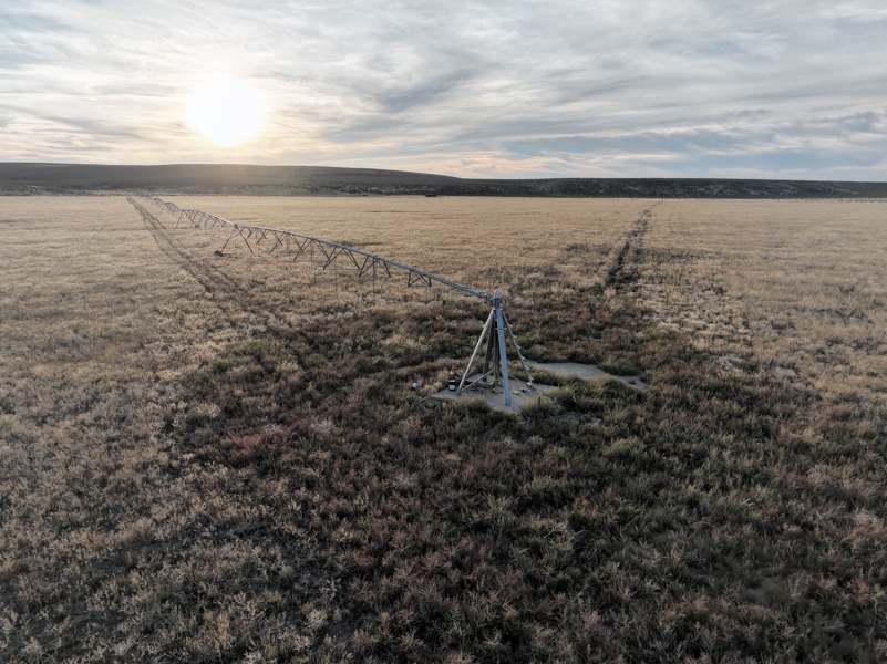
Approximately 340 acres lie under three pivots: two Reinke pivots and one Zimmatic pivot. One pivot is equipped with a LESA system. The pivots are interconnected by mainlines and tied to five wells. The fields have not been irrigated for the past couple of years and are currently open for planting.
The warmer climate in this part of the basin can provide a longer growing season for hay and alfalfa than some areas around Burns.
Functional Improvements and Water Rights
Improvements include storage facilities, a bunkhouse and a set of steel working corrals. The bunkhouse has been used during calving season. Alleys from the grazing pastures lead to the corrals, providing a central area for sorting and loading cattle. The owner has used a portable loading chute.
A cinder pit on the deeded property has provided material for roads and pivot tracks.
Prime Location and Additional Information
LOCATION: Approximately 28 miles South of Burns Oregon off of 205 on Sodhouse Ln
LEGAL: T27S R31E W.M. Tax Lots 503, 1200, 1300
ACREAGE:
· 760+/- Deeded Acres – Per County Records
o 340+/- Acres Pivot Irrigated
o 418 +/- Acres Dryland Pasture
o 2 +/- Acres Improvements
WATER
RIGHTS:
Certificate# #Acress Priority Date SOURCE
G-15355(Permit) 130 July, 1 2002 Well
92228 210 June 17, 2008 Well
FINANCING: Cash or Bank Financing
TAXES: $1,847.54 – Per County Records (Farm deferral)